Visiting Dupinga River (One of the Drinkable River Water in the Philippines) and a Side Trip to El Pobre Tanawan
Dupinga River at a glance
Hello Hivers!
Good day to everyone I hope you guys are okay and safe wherever you are in the world.
Here I am again sharing with you my travel experiences before the pandemic. This travel that I am going to share with you happened last year in the month of July 2019.
This is again an unplanned journey in my part, it happened in the waning months of summer in The Phillippines.
The place is Dupinga River in Gabaldon, Nueva Ecija in my beloved country, The Philippines.
Prologue
The Philippines is a mountainous state located at the Earth's equator making it a tropical country. It boasts one of the longest mountain ranges in the world, the Sierra Madre (not to be confused with the Sierra Madre in Mexico).
Sierra Madre is the longest mountain range in the Philippines with a length of 690 km (430 miles) it is located in the east part of Luzon making it a great wall that blocks strong winds of typhoons coming from the pacific ocean.
The north end of Sierra Madre is located at the municipality of Santa Ana in the province of Cagayan. Its south end is located at Bondoc Peninsula in the province of Quezon.
Mountains are synonymous with rivers, the Philippines has approximately 412 principal river basins, 28% of them are located in protected watersheds. Cagayan River is the longest river in the Philippines.
Dupinga River is one of the most famous rivers in the Philippines wherein you can drink the water flowing from it. The river is located in a mountain of Dupinga, Gabaldon, Nueva Ecija which is a part of the Sierra Madre mountain range.
The river is very rocky, it seems that the rocks serve as a filter that cleans the water while it flows from it.
The water of the river is very much drinkable (I did drink some using my hands as glass and it is tasteless) and if you can drink it you can swim from it
I am actually a bit surprised that I could still find a river in my country that this clean. But while I am pondering about its cleanliness I realized that Gabaldon (where Dupinga River is located) is actually a province wherein the population is still small and there no much of an industry, largely urban, or city that pollutes its rivers.
The Travel
I am actually with my family on this travel. We started our journey from the city of Cabanatuan in Nueva Ecija. At first, I thought Dupinga River is an hour plus drive from Cabanatuan City but I was wrong. It took us only about 30-40 minutes traveling at a speed of about 60 Kph in a van. If we continue to drive for about 20 minutes more we will be at Dingalan (the town of Baler located at the shore of the Pacific Ocean).
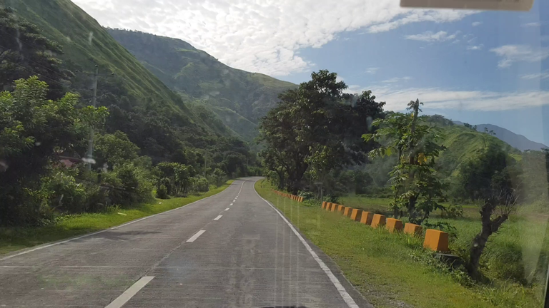
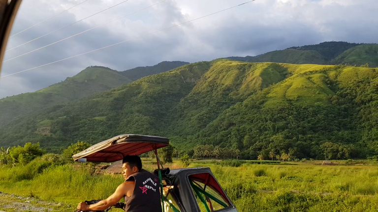
While on our way I am again surprised about the scenery that I saw while we are on the road. A lot of green scenery greets us, a welcome and fresh experience since I always see houses, tall buildings, and vehicles from where I am living.
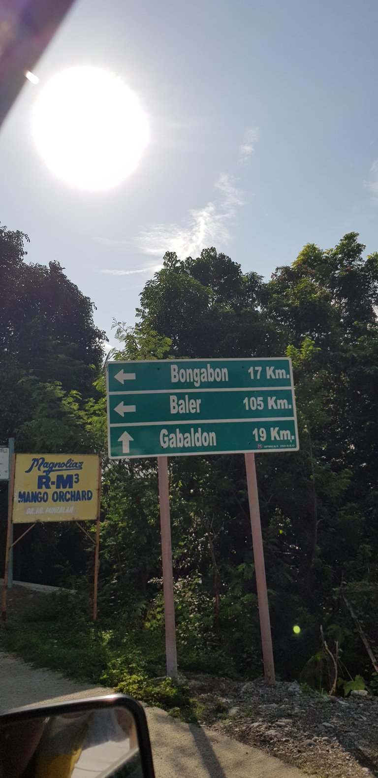
The photo (below) of the Laur-Gabaldon boundary is a lot more majestic in actual (I'm not just a great photographer, wink! wink!). At the left portion of the photo can be seen part of a mountain covered in mist. A misty mountain can always be seen in the morning throughout the Philippines. We happen to see this misty mountain since we're on the road at around 7:00 - 7:30 in the morning.
Laur-Gabaldon Bridge (boundary of Laur and Gabaldon)
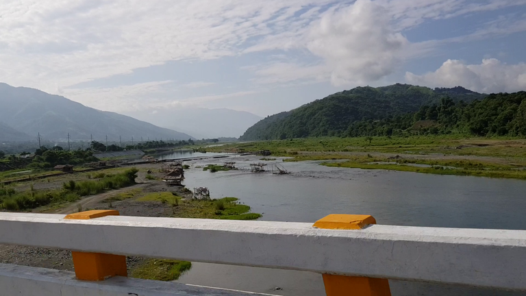
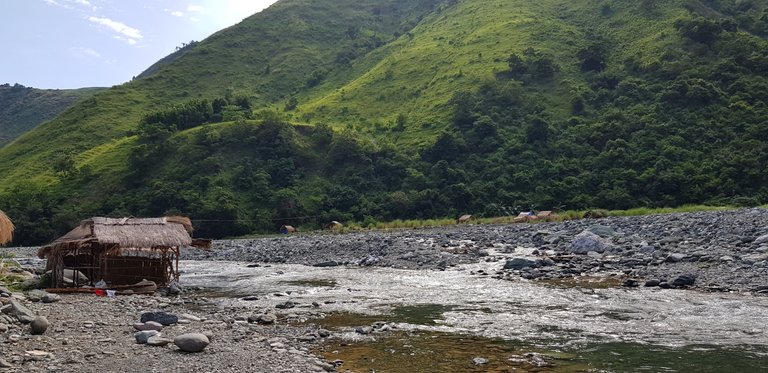
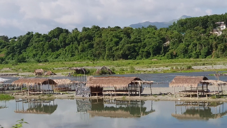
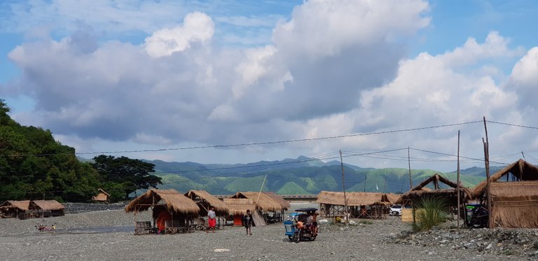
The following two photos below show the river on the boundary of the towns of Laur and Gabaldon in Nueva Ecija. This river is actually a part of the Dupinga River. As you can see there are nipa huts within the river that are used by visiting tourists. But this is not where we are going, we will be going to the town proper of Dupinga where the Dupinga River is located.
Some Nipa Huts on Laur-Gabaldon River
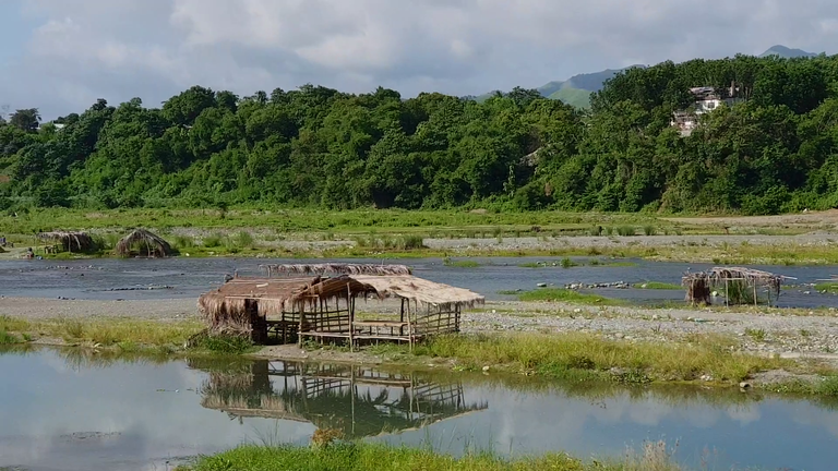
A lot more Nipa Huts within Laur-Gabaldon River
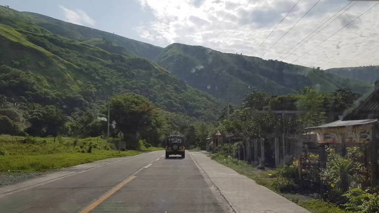
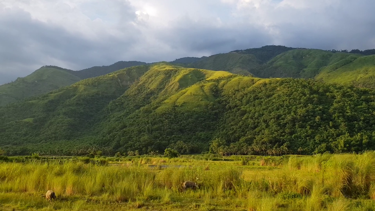
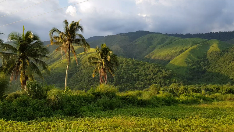
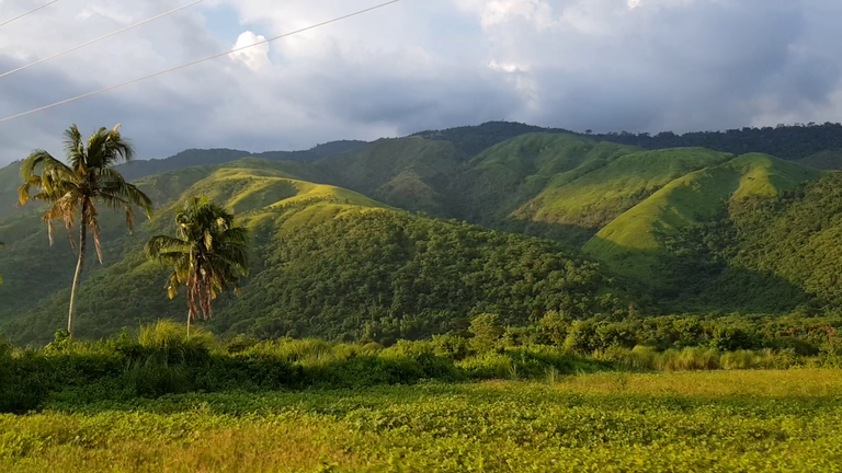
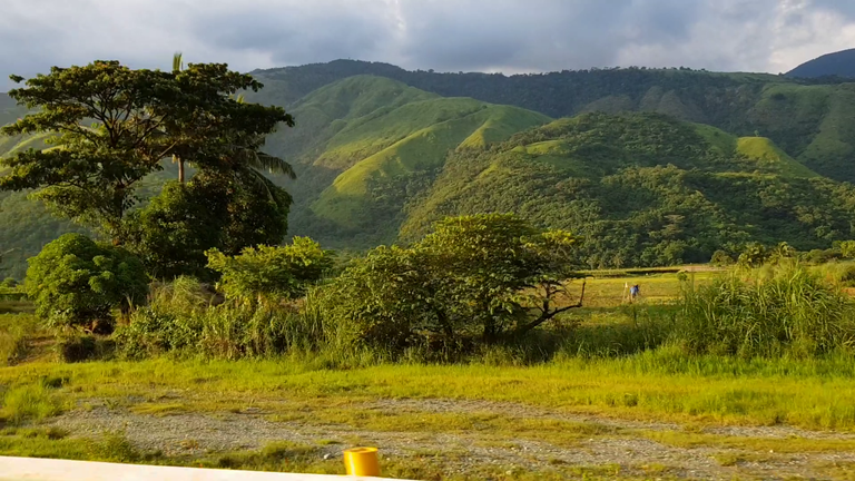
While we are entering Gabaldon we are now able to see up close the very green mountains of Gabaldon that are part of the Sierra Madre mountain range. Behind this mountain lies the town of Dupinga where the Dupinga River is located.
Entering Gabaldon, a view of the Sierra Madre mountain range
A closer look of the Sierra Madre mountain
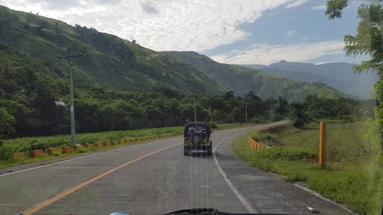
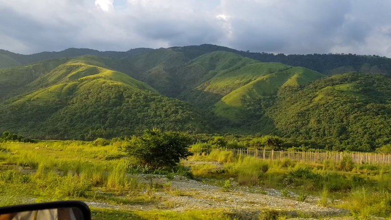
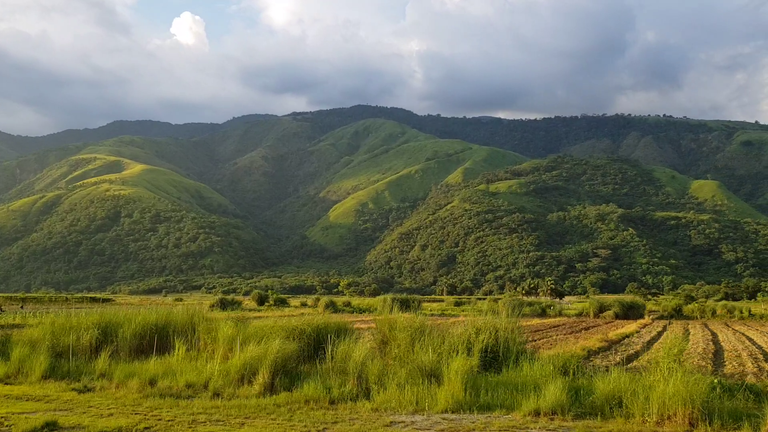
At the end of the road on the photo (below) lies the town of Gabaldon and the Dupinga River. As you can see, driving on this road is so refreshing since we hardly see many vehicles traversing the road at once.
The wind is also very cool since it is coming from the mountain. We did turn-off the air-conditioning of our vehicle at this point just to get a breath of fresh clean air coming from the mountain.
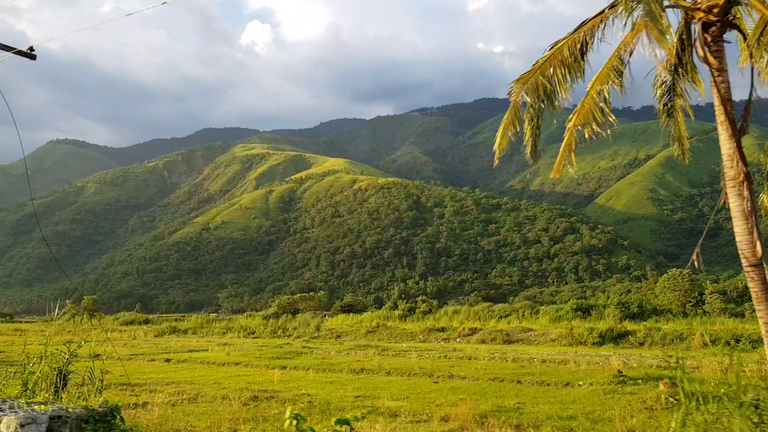
Nearing the town of Dupinga
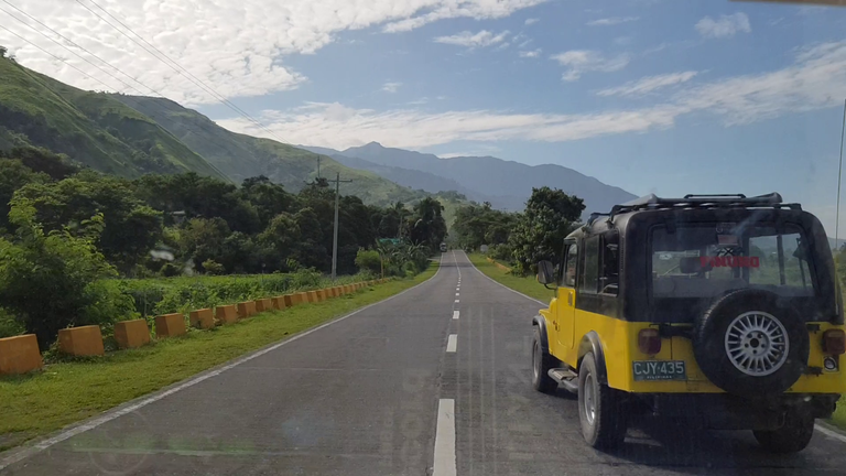
Nearing Dupinga River
Arrival at the River
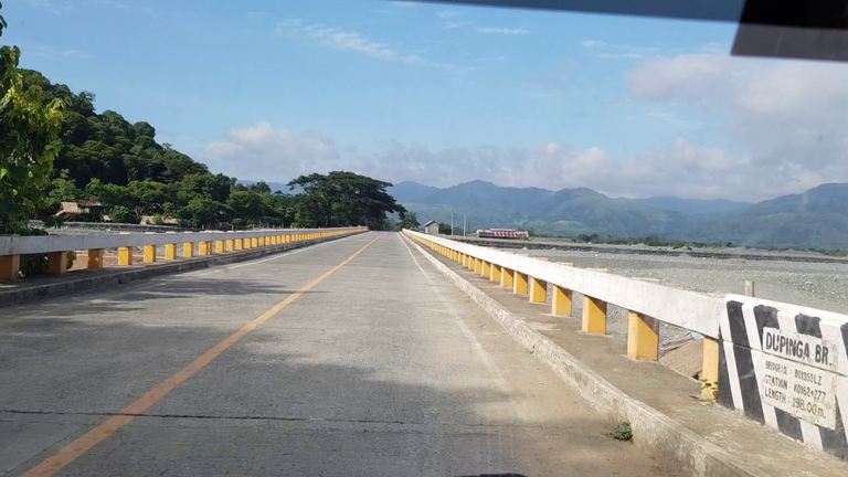
After about 30-40 minutes of driving, we arrived at Dupinga River. Notice the photo below? Look closely at the bottom right corner of the photo, it says, Dupinga Bridge, wink! wink!
I never thought that this river is so close to the city of Cabanatuan in Nueva Ecija where our family once lived and where I studied college.
Dupinga Bridge
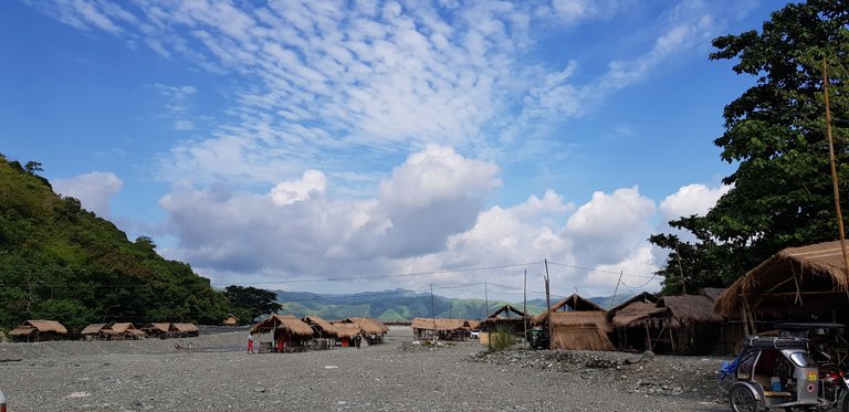
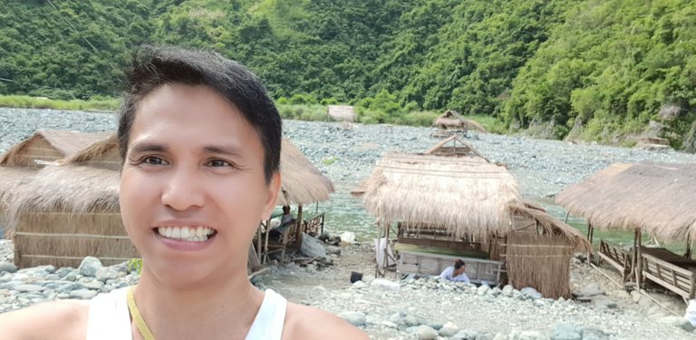
While we are transferring our foods and belongings that we are going to eat and use for the rest of the day at the river I noticed that the skyline is very clear and the sun's heat is starting to be felt hot so I took my smartphone out and took a photo.
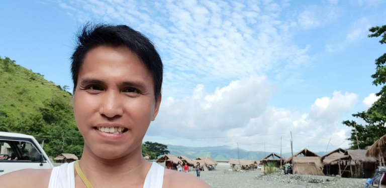
I am so amazed at the view of the clouds on the skyline so I took a selfie of me with the skyline in the background.
Dupinga skyline
My Selfie with the skyline on the background
Another photo of the Dupinga River skyline
After we unloaded all the foods and belonging from the vehicles I took a selfie of me with the nipa hut we rented and river on the background (I should have taken the photo a lot more closer, hihi!).
Selfie with nipa hut and the river on the background
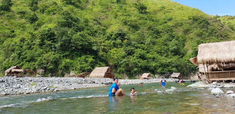
Here's a closer selfie of me and my wife at the river

The following photos below are the rest of the photos that I took before I swam at the river.
I actually do not take as many photos as I can because my primary reason for visiting the river is to unwind and to escape the noisy city life and to breathe some truly fresh and clean air that my body haven't inhaled for so many years.
With that said most of the photos in this article were snapshots from shorts videos that I recorded before I get to swim on the river.
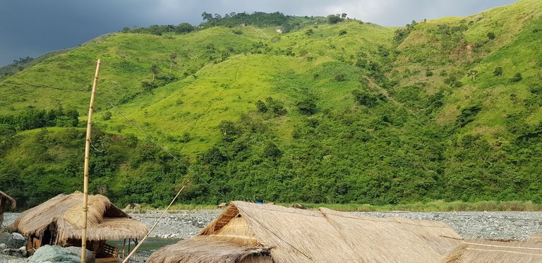
Dupinga River with the Sierra Madre mountain in the background
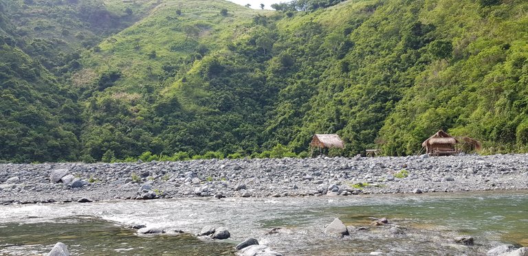
A nipa hut on the right
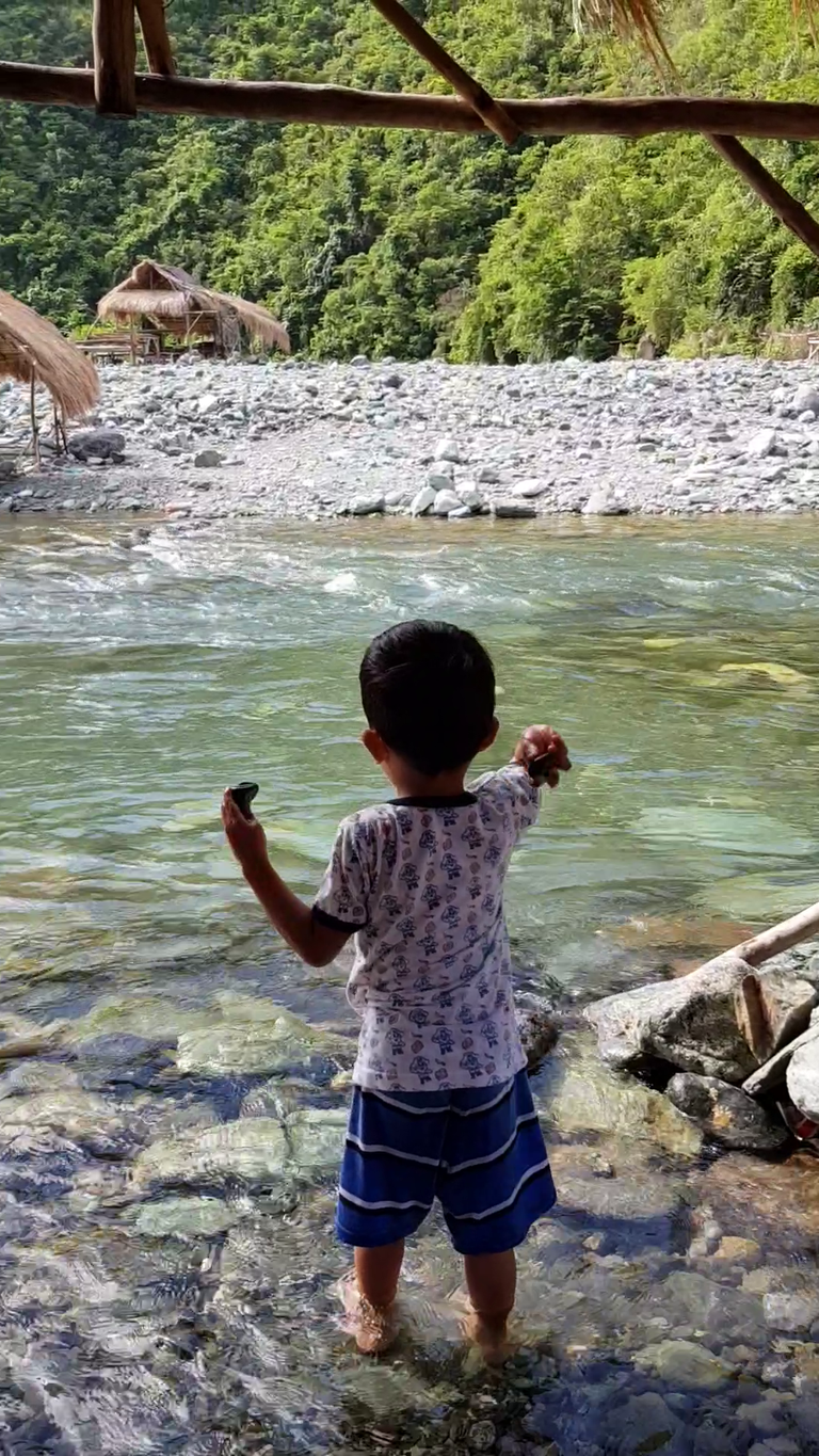
My wife and my son enjoying the cool and clean water of the river
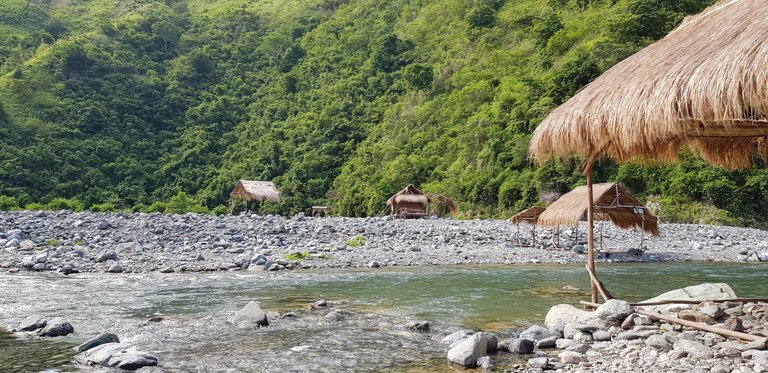
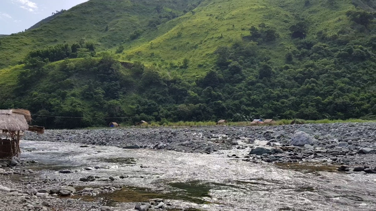
Here's another photo of the very green Sierra Madre
Can you see the five nipa huts near the Sierra Madre?
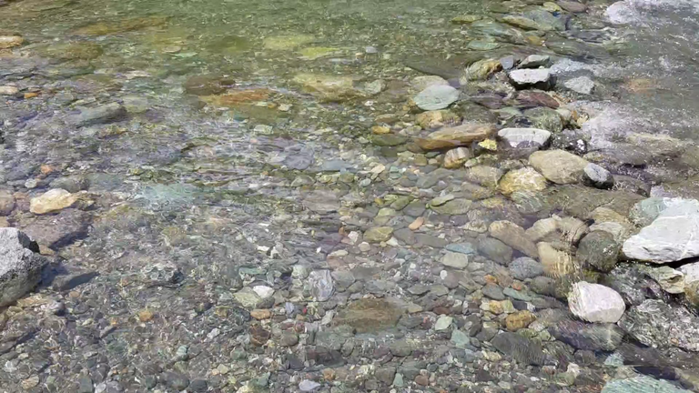
Crystal clear water
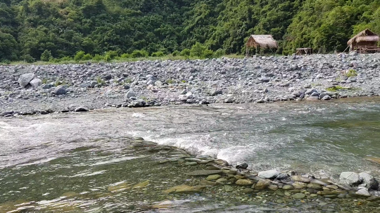

Stones can be seen beneath the clear water of the river
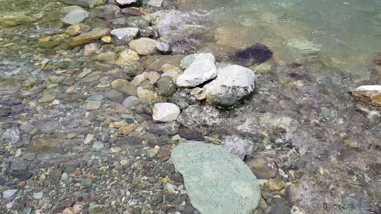
Some stones blocking the water flow
And that's about the river, sadly I was not able to ask some of my family members to take a photo of me while swimming at the river but it still worth it since the river, sceneries, and the cool fresh air did relieve some of my stress from city and office life.
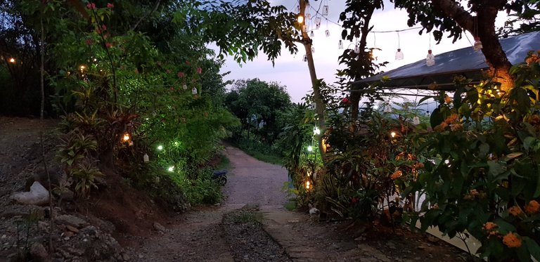
After enjoying the river we decided to pack our things so that we can do a little side trip to one of the most famous tourist destinations in the province of Nueva Ecija at night, the El Pobre Tanawan that is located at the next town of Laur.
This side trip is a no brainer since it's located near the road on our way home.
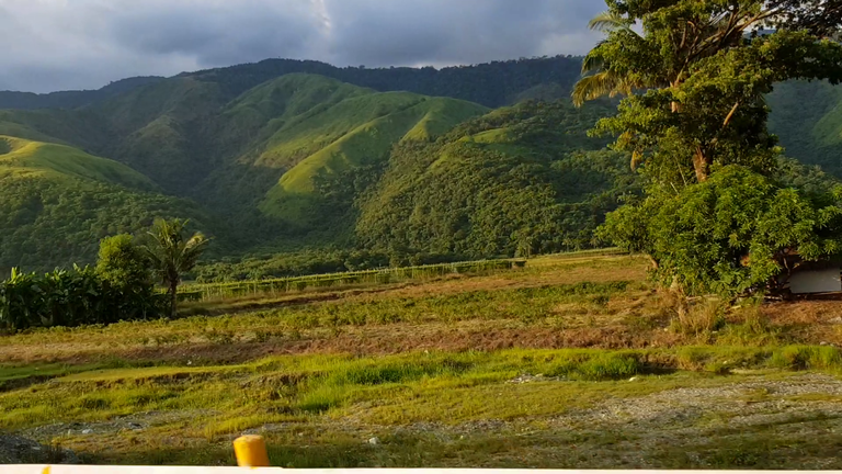
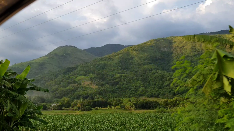
While on our way to El Pobre Tanawan we came to see the green mountain of Sierra Madre again in all its glory (the green became vibrant green because of the sun). So I took my smartphone out and recorded a short video of it.
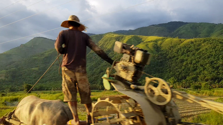
The photos that you are going to see below were snapshots from the video that I recorded while we are on our way to El Pobre Tanawan. This is actually the exact same road that we traversed going to Dupinga river.
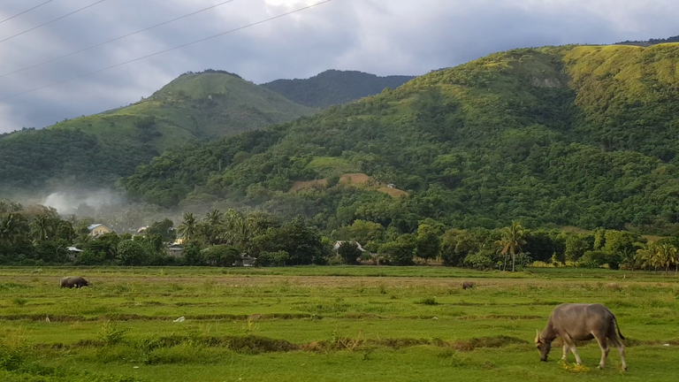
A Carabao, a farmer, and a Hand-Tractor
Green Gabaldon Mountain
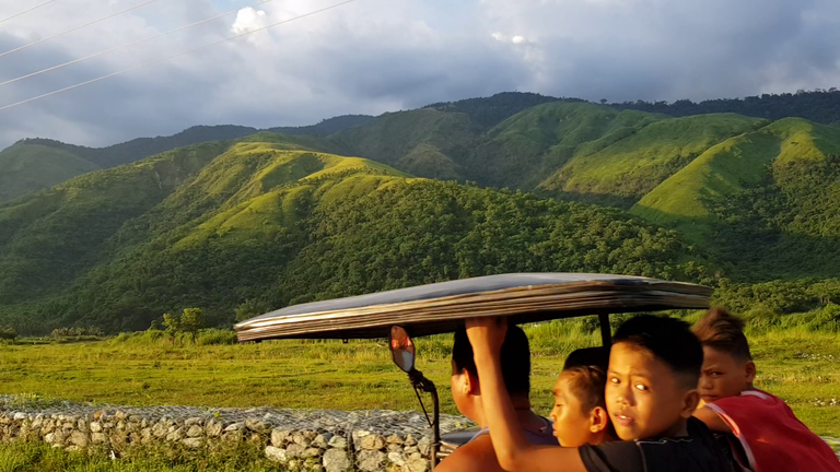
Passing by a tricycle
Coconut on the right
Coconuts at center
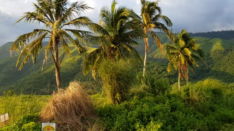
Three coconuts on the left
More coconuts, wink! wink!
Side mirror photobomber
Just another video snapshot
Another snapshot
I told you, this article is filled with video snapshots, wink! wink!
A cornfield at the bottom
A carabao
Another tricycle
Arrival at El Pobre Tanawan
We arrived at El Pobre at last after 15 minutes of driving. This tourist destination is popular because of its romantic view when night comes.
While at Tanawan you can see the whole city of Cabanatuan (even more beautiful at night).
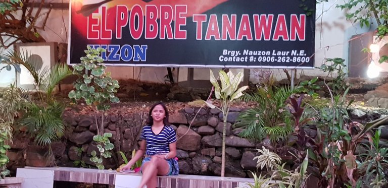
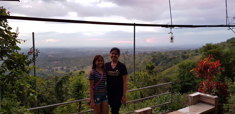
El Pobre Tanawan entrance
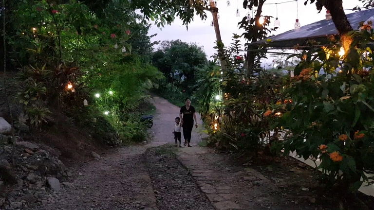
My wife and my son at El Pobre Tanawan entrance
El Pobre Tanawan, Brgy. Nauzon, Laur, Nueva Ecija, Philippines
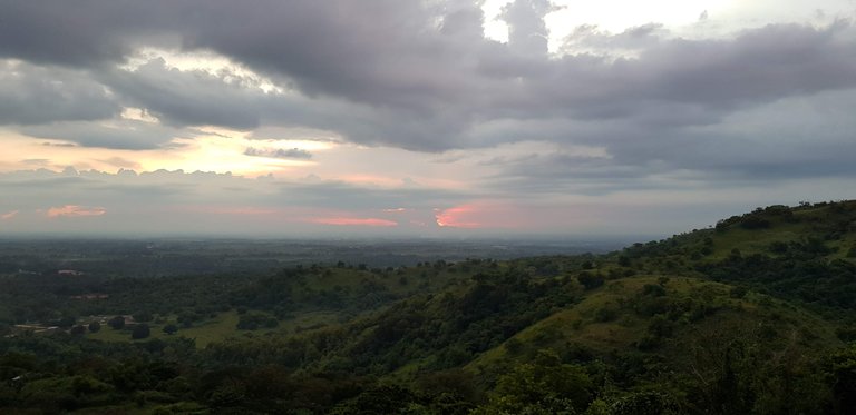
On top of El Pobre Tanawan (overlooking the City of Cabanatuan)
My wife and my niece at El Pobre Tanawan (at the background is Cabanatuan City)
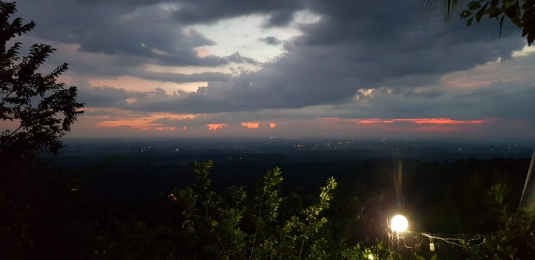
And the night fell.
Truly, the view is of romantic vibe when you see the lights of the city of Cabanatuan at night time on El Pobre Tanawan.
I never thought that there's a place like this in Nueva Ecija since most of the land mass of the province is flat and littered with rice farms which are of course commonly seen in flat areas.
Some city lights of Cabanatuan while night is approacing
And that's how our side trip to El Pobre Tanawan goes.
If you are from the Philippines and you live in the province of Nueva Ecija (or near) I recommend visiting Dupinga River then make a side trip to El Pobre Tanawan (make sure to wait for the night at El Pobre since the view is more beautiful at night).
And might as well arrive at El Pobre Tanawan when the sun is still out then wait for the sunset and for the night to fall.
That's all for now guys, see you again later.


Congratulations, your post has been added to Pinmapple! 🎉🥳🍍
Did you know every user has their own profile map?
And so does every post as well!
Want to have your post on the map too?
Thank you very much.
Excellent travel report with a lot of great shots. Some of the lanscapes photos are really amazing. I didn´t know you have such beautiful majestic mountains in the Philippines. Top notch post, my pleasure to get you some extra support for your hard work ;)
@tipu curate 2
Upvoted 👌 (Mana: 0/50)
Thank youb :-)
Thank you very much.
Yep, Philippines do got majestic mountains that are worth visiting :-)
Hiya, @lizanomadsoul here, just swinging by to let you know that this post made it into our Top 3 in Daily Travel Digest #978.
Your post has been manually curated by the @pinmapple team. If you like what we're doing, please drop by to check out all the rest of today's great posts and consider supporting other authors like yourself and us so we can keep the project going!
Become part of our travel community:
Thank you very much :-)
Wow that place is so great and definitely not impossible from being able to be visited in the future since I am also from Philippines.
Thanks for sharing!
Puntahan mo bro, maganda dun, malinis ang lugar at tubig.
CONGRATULATIONS!
Your post has been curated and was included in the featured posts in Hive PH Curation post #48.
Please continue to create distinctive and informative write-ups and don't forget to include #hiveph on your tags.
Kindly subscribe also to the Hive PH community where you can co-exist with fellow Filipino authors and discover more of your passion in writing.
Chat and interact with our fellow Filipinos in our discord channel.
You can also follow us on Twitter and Facebook for more community and blockchain updates.
Maraming salamat kabayan