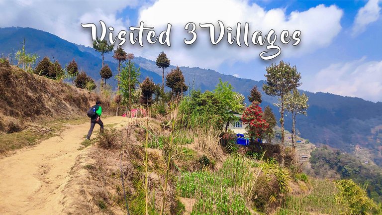
And when we marked the trail of 3 villages while roaming in Shingalila National Park
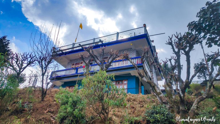
It has been 5 days since we have been living in the small village “Rimbaik” of West Bengal and in these last 5 days we have roamed around and done recce of the entire area. Actually, we have been organizing a trail running event here for the last five years…the name of this event is “The Buddha Trails”. It got this name because when the runner reaches Sandaphu, he sees Mount Kanchenjunga amidst the first rays of the morning. When seen from a distance, this mountain range looks like a sleeping Buddha and that is why this event is named after Buddha. .
 Thumbnail created in Adobe Photoshop
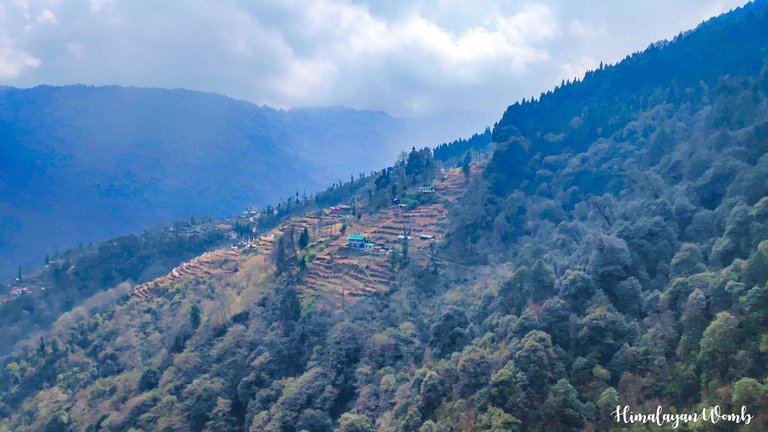
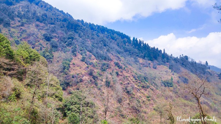
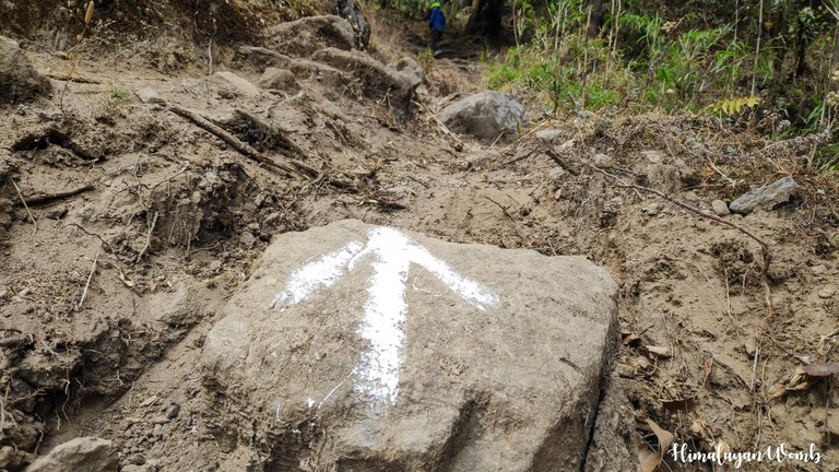
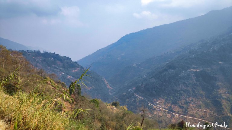
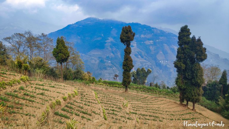
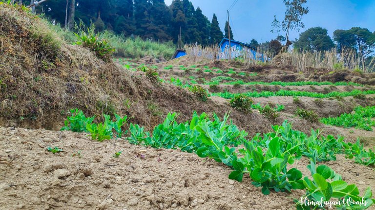
Rimbik village is at an altitude of 1850 meters and is located just 18 km from the India-Nepal border. This will be the sixth edition of this race. There are total 3 categories in the race, first in which the runners have to run only 12 km, second in which the runners have to run 30 km and in the third and biggest category, the runners have to run 65 km to finish the race and get the medal. So this route is spread in Shingalila National Park. We mark the route to help runners stay on the trail during the race and not get lost.
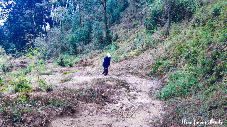
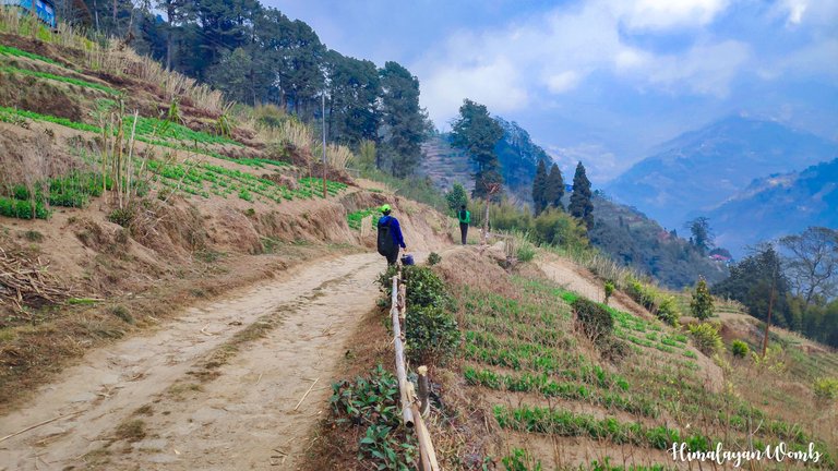
And this route marking is not only useful for runners but is also very useful for the tourists visiting here and the forest department. After taking all the permissions before the race, we start marking the route. One team goes to our Sandafu and the other team includes me and my friend @sara.negi. Today we will start from Rimbik and mark the route from Timbure village and go to Upper Shrikhola Zero Point. From there we will proceed from Upper Shrikhola School to Kalyan village and then mark the route till Shrikhola Bridge and complete today's marking work.
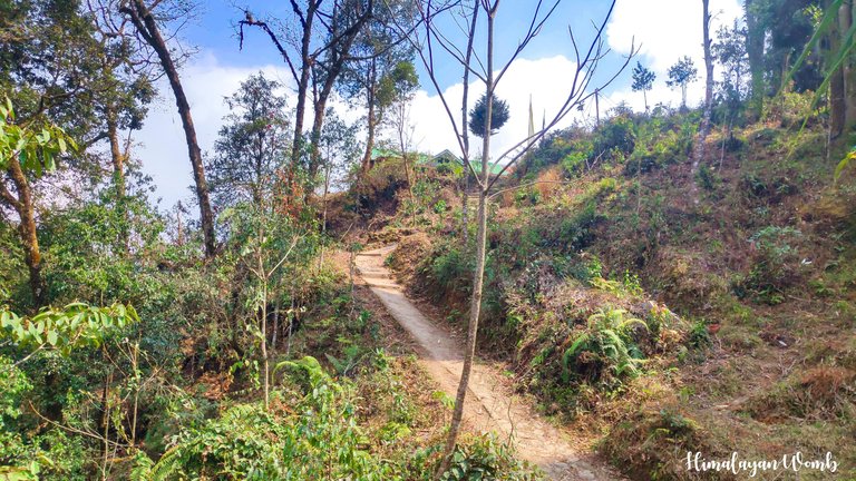
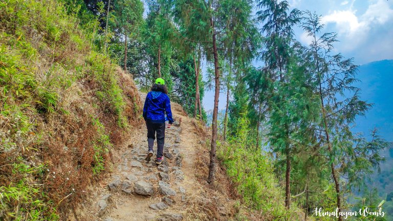
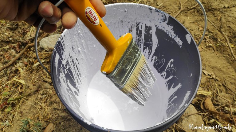
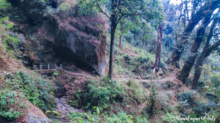
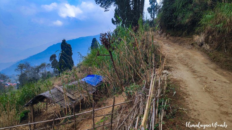
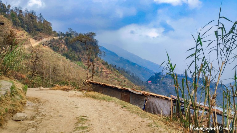
It rains a lot here and keeping this in mind we use plastic paint for marking, anyway this paint gets dusty after a year due to continuous rains for months. Well, we have to leave at 8 o'clock, we get a taxi from Rimbic which drops us at Shrikhola Bridge from where our walking route starts. First of all we cross Timbure village and reach Upper Shrikhola Zero Point where we had marked the route yesterday.
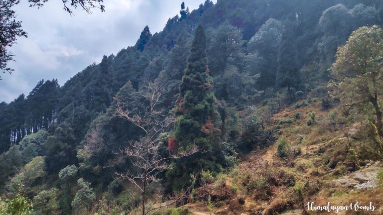
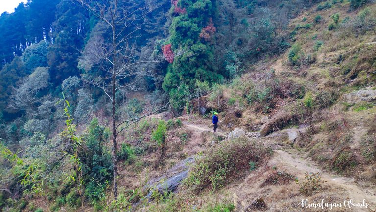
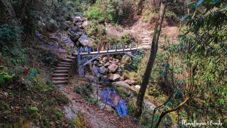
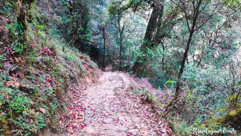
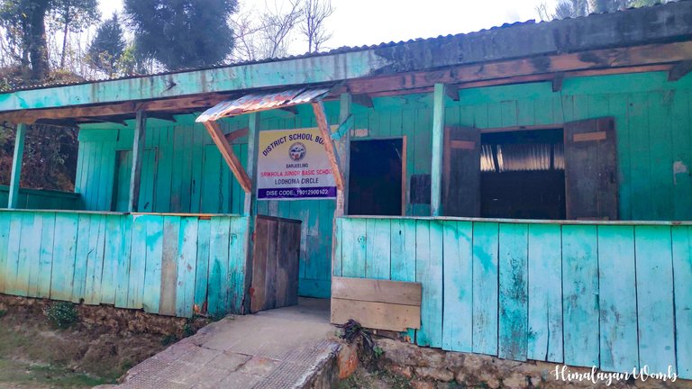
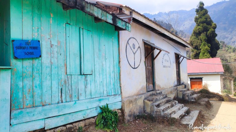
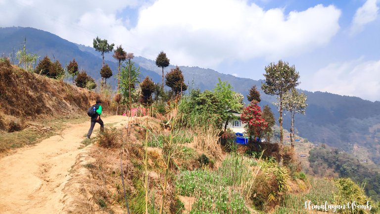
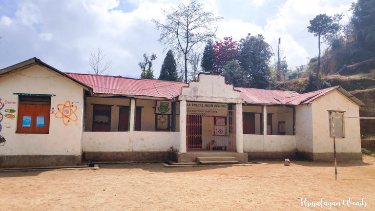
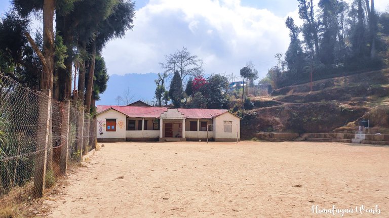
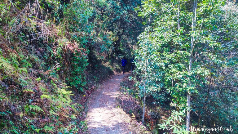
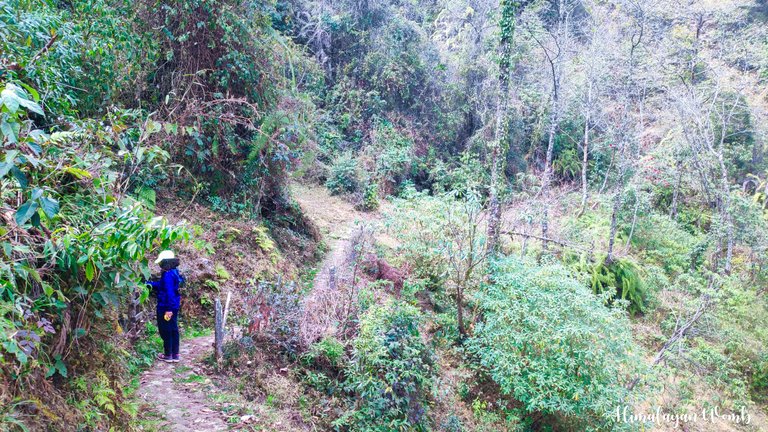
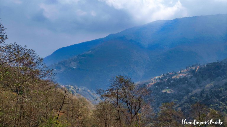
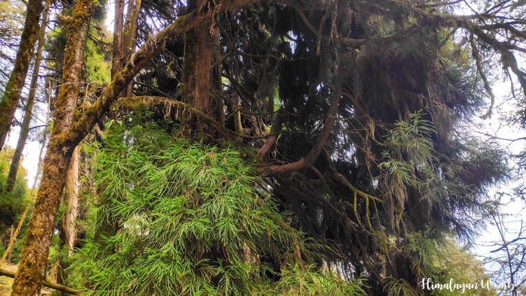
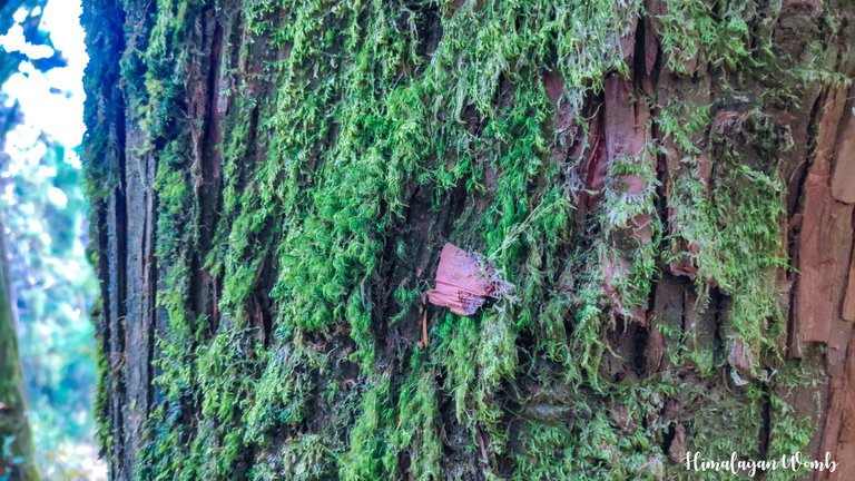
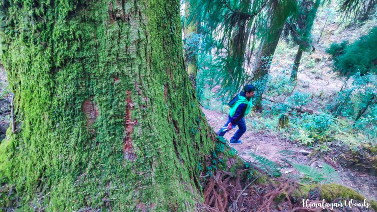
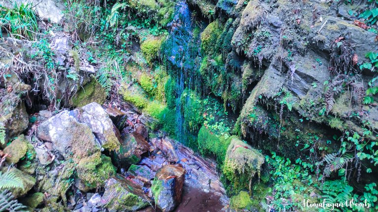
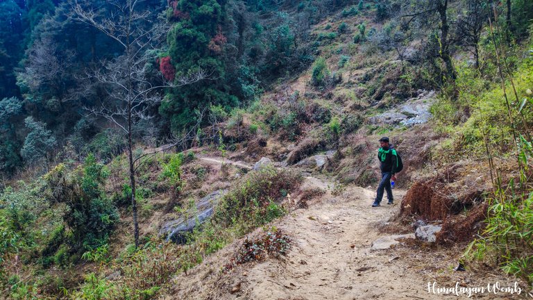
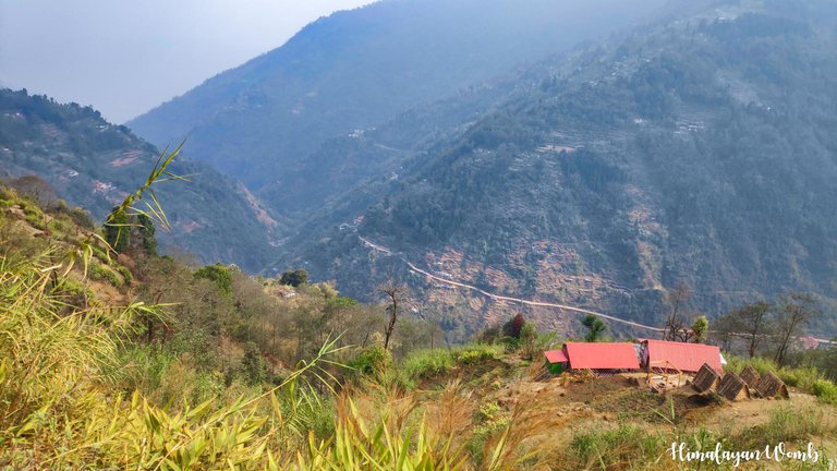
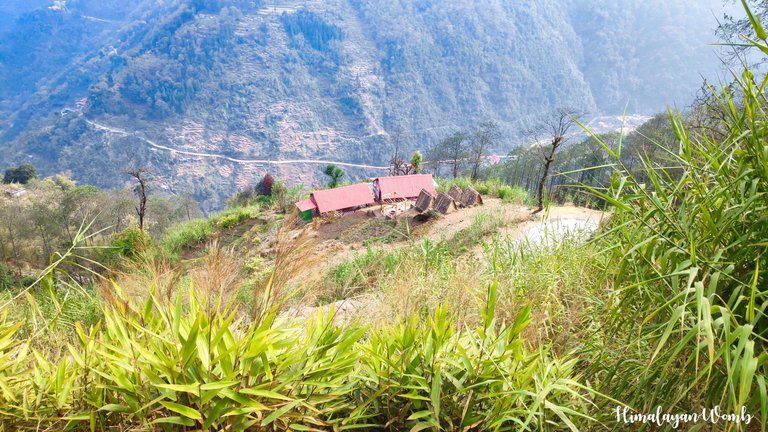
Today we are three people and are slowly moving towards Upper Shrikhola village. On the way, we can see the state of Sikkim across the forests and valleys. While marking the mark, we reach the school of Upper Shrikhola where it is a school holiday today on account of Sunday. After taking in the sights around us, we cross the school and enter the forest. This is the forest of Shrikhola and it is not so dense that anyone can get lost. There are bridges built on streams at many places in between, which we do not face any problem in crossing.
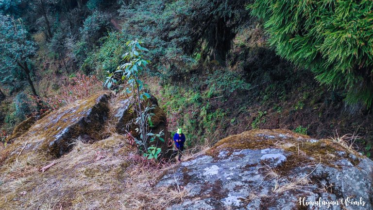
This part of the forest became my favorite because there was no human or vehicle here. The peace here is permeated with the sounds of the creatures living in the forest and I can say with certainty that these sounds will mesmerize you too. They are walking enjoying the beauty of the forest and doing their work honestly. From the trail we can see the villages located in the valley below. Here, when you look at the mountain village from above, it seems as if the village is asking, “When will you come back”?
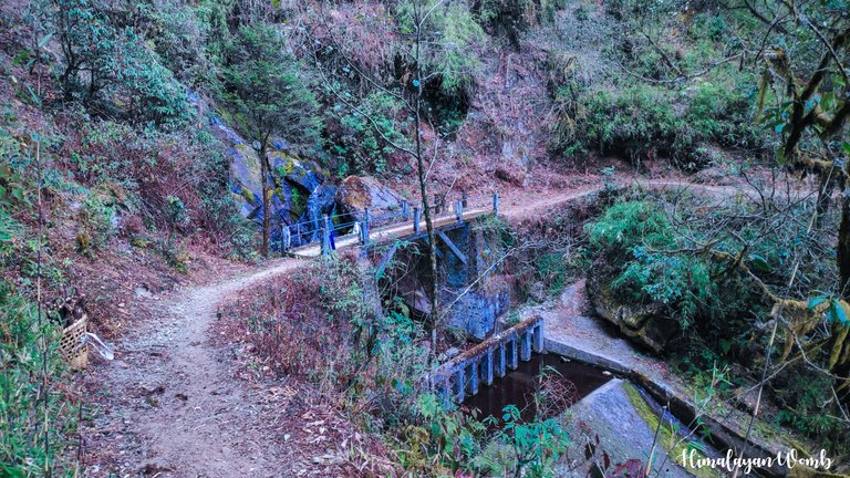
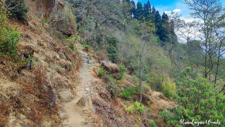
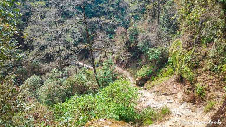
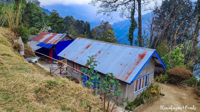
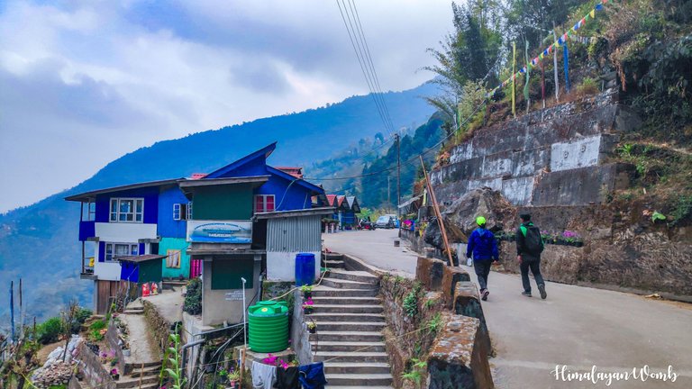
By around 2 pm we reach Kalyan village after marking the route. Now from here onwards we are not going to face any ascent, the entire route from here onwards is going to be descent and we are not going to face any problem in descending. Walking slowly, we reach Shrikhola Bridge, where we feel so hungry that everyone says in one voice, “Now we will not go further without eating.” But the problem is that we will have to walk another 2 km to get food as there is no restaurant here and no car to drop us to Rimbik.
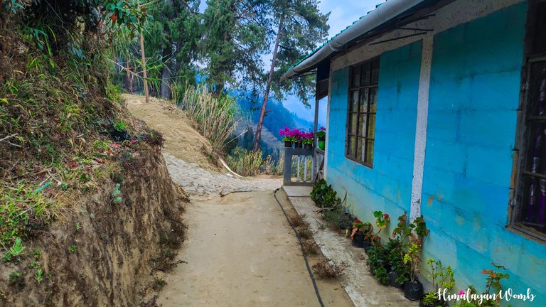
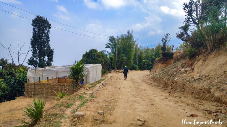
Walking 2 km we reach Shepi village where we were ordering food when a taxi arrives. We take a cold drink and a packet of chips and sit in a taxi and in next 40 minutes reach Rimbik village where our home stay is. As soon as we get down from the taxi, we start eating, after which we get busy in other work. So today's day ends here. Today we marked 16 km of trail and now one more segment is left for marking after which the route is ready for the event.
That's all for today, see you in another post. I hope you liked this post.
Disclaimer: This post is originally written in Hindi and I have used Google Translator to tranlate the Hindi text in English. All the photos have been clicked by me from android poco f1 and edited in Lightroom/photoshop.
Congratulations, your post has been added to Pinmapple! 🎉🥳🍍
Did you know you have your own profile map?
And every post has their own map too!
Want to have your post on the map too?
Waah bhaiji kya jgaa hai ☺️
This post has been manually curated by @steemflow from Indiaunited community. Join us on our Discord Server.
Do you know that you can earn a passive income by delegating to @indiaunited. We share more than 100 % of the curation rewards with the delegators in the form of IUC tokens. HP delegators and IUC token holders also get upto 20% additional vote weight.
Here are some handy links for delegations: 100HP, 250HP, 500HP, 1000HP.
100% of the rewards from this comment goes to the curator for their manual curation efforts. Please encourage the curator @steemflow by upvoting this comment and support the community by voting the posts made by @indiaunited.
Amazing ! 💚☀️
Thank you friend. How are you?
What a charming nature and tye rural villages looks so nice. 😄
Hiya, @ybanezkim26 here, just swinging by to let you know that this post made it into our Honorable Mentions in Travel Digest #2171.
Your post has been manually curated by the @pinmapple team. If you like what we're doing, please drop by to check out all the rest of today's great posts and consider supporting other authors like yourself and us so we can keep the project going!
Become part of our travel community:
Congratulations @himalayanwomb! You have completed the following achievement on the Hive blockchain And have been rewarded with New badge(s)
You can view your badges on your board and compare yourself to others in the Ranking
If you no longer want to receive notifications, reply to this comment with the word
STOPCheck out our last posts: