50 Shades of Ochre. Rivers Turned Bright Colors After Downpour
I've spent more than three years in Southeast Asia altogether but last weeks were the most rainy in my life. It drizzled, showered, and downpoured every day in Xepon, Laos 🇱🇦 The general rule was if you go outside, no matter how short your walk is, you are bound to get caught in the rain. This is an exaggeration, of course, but, believe me, it's not that big.
Xepon, Laos on Google.Maps
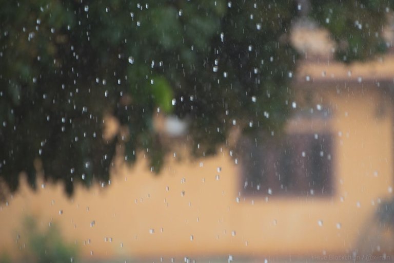
June 17 was surprisingly sunny in the morning and the noon. I was going to have a photography walk after 3 pm so that the light was soft. I mounted 50mm lens on my camera, packed the backpack (a tiny one to avoid back sweating), went to the shower but, when was out of the bathroom, I found that it was pouring heavy rain outside the window. And I decided it was time to shoot all these raindrops and water streams on Xepon streets.
I left the room when the last raindrops were drumming the earth. I had a rain poncho with me in the backpack and a thick plastic bag in case of downpour to put my backpack with photocamera in it to keep it safe.
But all these precautions weren't needed since, quite soon, the clouds parted and the sun came out.
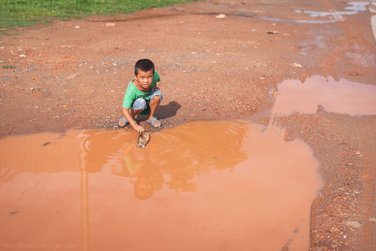
Playing boat in a puddle...
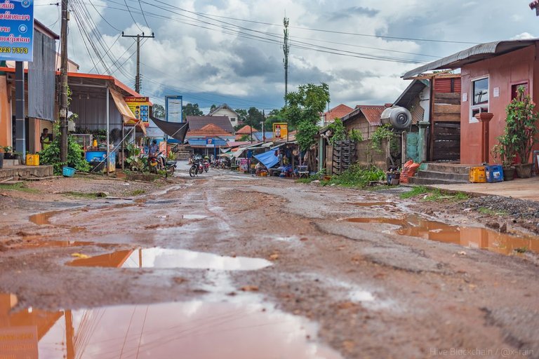
After heavy raining, puddles of the Xepon Town is always colorful. The thing is that the local urban soil has long since lost its intense red pigment. It colors rainwater into the light beige only. But the townspeople bring excavated soil (a mixture of loam with small stones) from the surrounding areas for building purposes. This fresh element contains intense colors like this, for example:
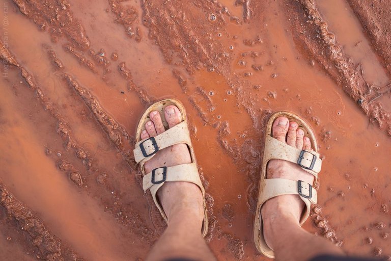
Dirt in Xepon has several shades, this is my favorite
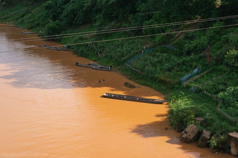
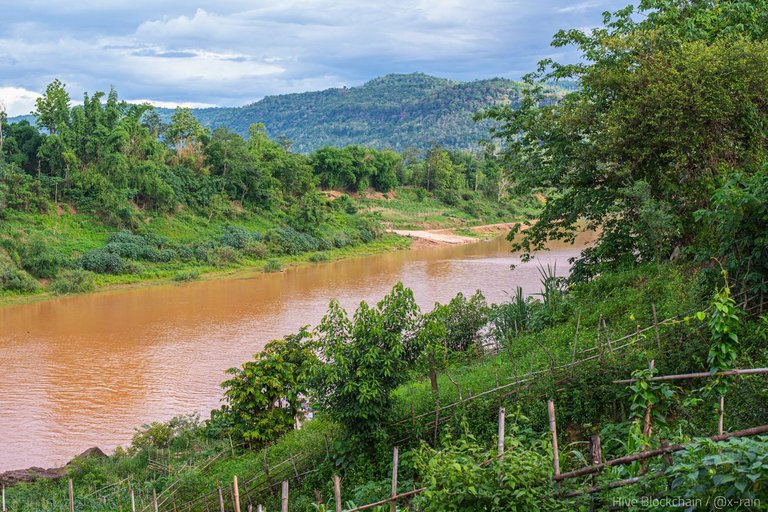
Moreover, downpours wash out this pigment everywhere in the vicinity of Xepon so rain water streams make even rivers redder than usual.
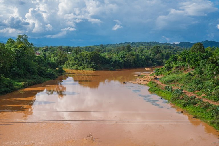
Banghiang River from the Lao-Soviet Friendship Bridge
What a shade!
From the same bridge, you can see a landmark of Xepon: a lone pillar of the old bridge that was bombed down by the US army during the Vietnam War:
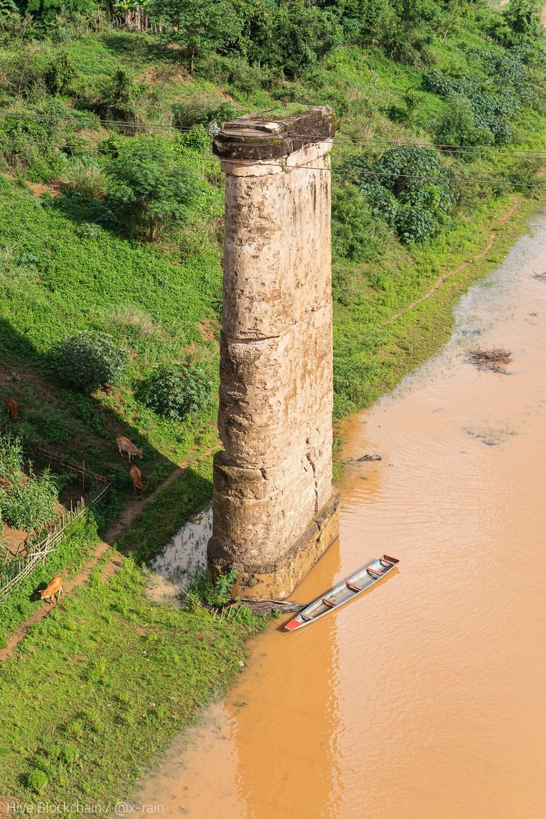
Vietnamese Communists used mountainous Laos to penetrate in the South Vietnam, this is why the US army attacked this area. As a result, Xepon was bombed heavily.
Today, you can see another remnants of the war here: look at the boat down the pillar, it's made of a fuel tank of an American aircraft... There are many of this kind of boats in Xepon.
I will tell about these boats in detail later. Here, let me share that after-rain feast of the color.
I was seriously torn as to where to go down - to the boats or to the opposite side of the bridge. I chose the opposite way attracted by fishermen.
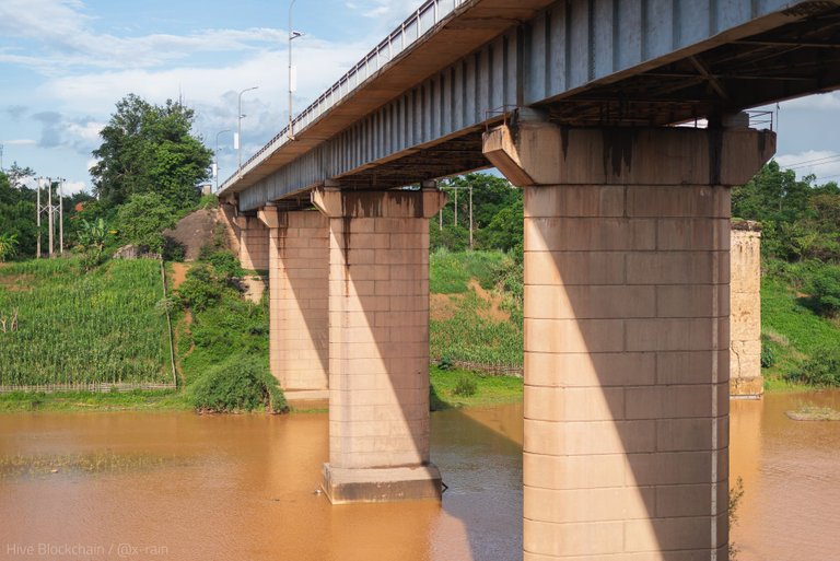
A bridge of Lao-Soviet Friendship in Xepon (built in 1987)
Under the bridge I found butterflies:
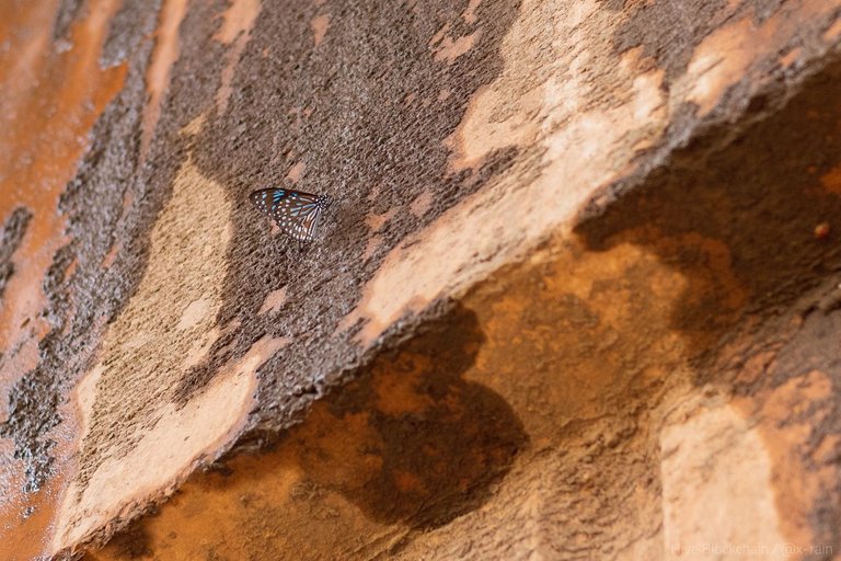
(The next day I found even more on the opposite bank under the bridge! Three species).
There are a lot of colorful insects in Xepon and surroundings, I even posted about this: Season of Dragonflies at Banghiang River, Laos.
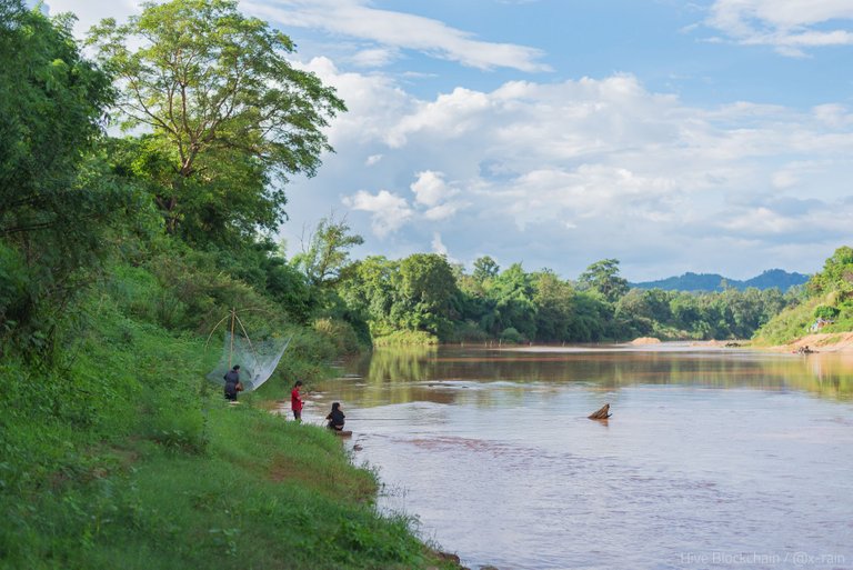
The water wasn't so colorful there since it was reflecting the whitish sky. But I wanted to see these fishermen with their unusual way of fishing.
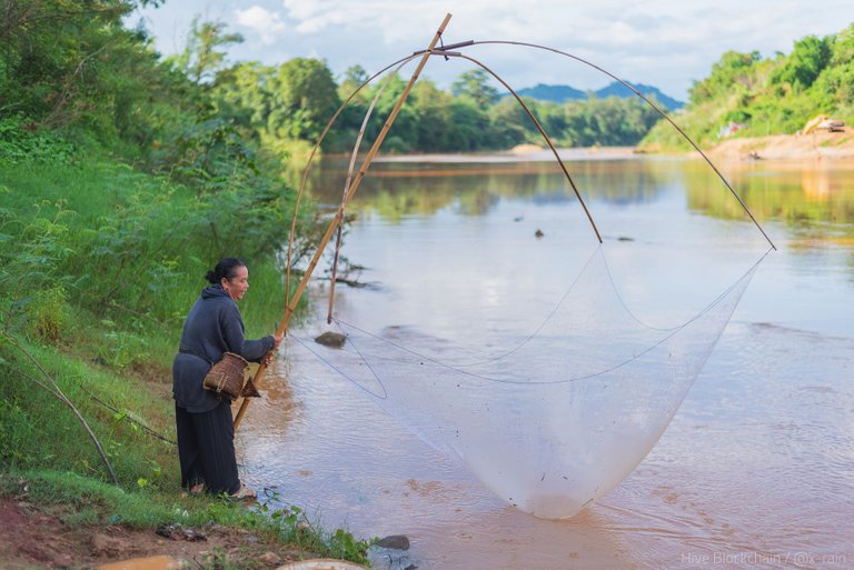
I gestured to the woman if I could take a picture of her. To which she replied with a laugh: "Farang, no!" No, she said in English (unusual for Xepon); farang means white person. Her laugh gave me hope and I showed her that I would only photograph her net, not her. (I lied. I had to be a bit pushy to get these images, it happens).
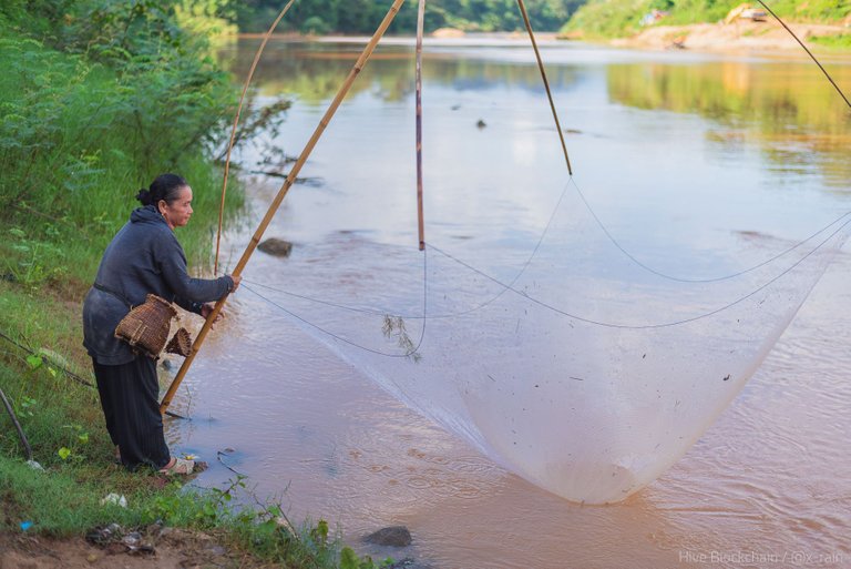
I also tried to break the ice with my insignificant knowledge of Thai/Lao by saying "pla" (fish in Thai) and "nam" (water). And I succeeded, as you see. 😀
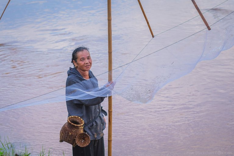
Thank you for this smile, dear person!
I left soon saying "kapchai, kapchai!" (thank you, thank you!) and set out to see how another river, Namkok, looks after the rain.
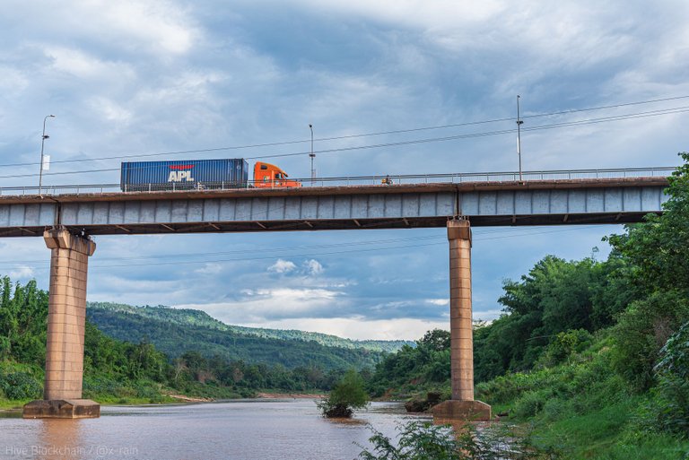
Bridge of Lao-Soviet Friendship across the Banghiang River
One more cool scenery on my way:
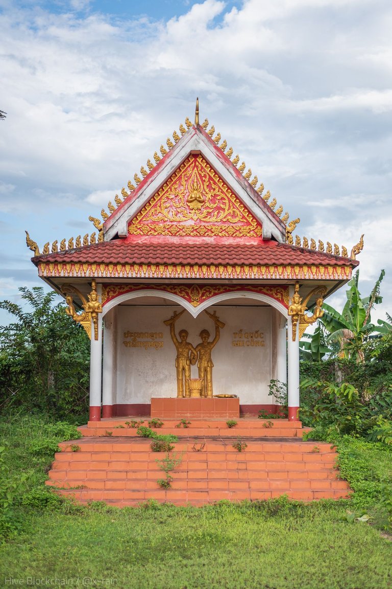
A humble shrine-looking monument to a sort of military Lao-Vietnamese cooperation (I don't know the real name):
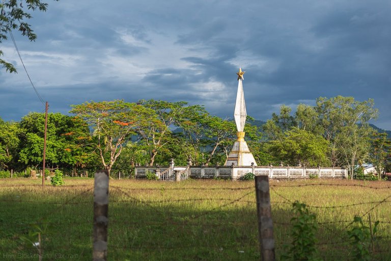
But it's again about Vietnam War. A military cemetery of the same time on the way to the Namkok River:
But let's come back to the light side and nowness:
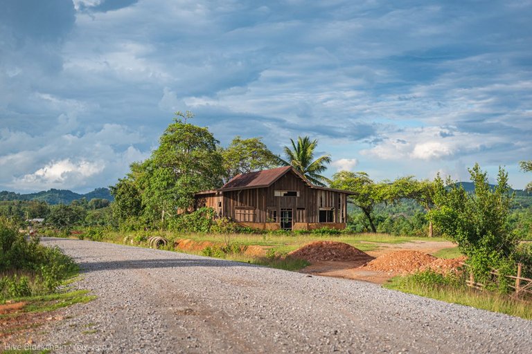
Abandoned house on the way to the bridge over the Namkok River. One day, it was my shelter for an hour and a half during downpour.
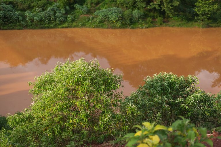
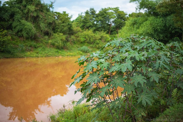
The Namkok River. A lush bush of poisonous castor oil plant:
The Namkok River, a view from the bridge:
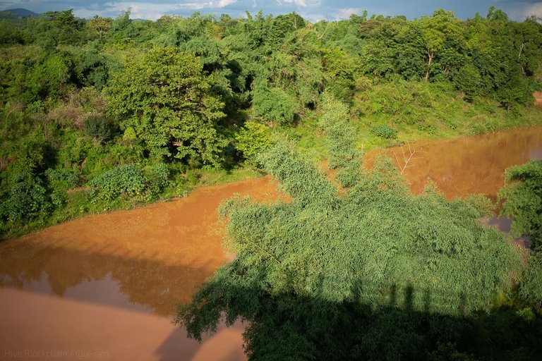
You can also see the shadow of the bridge in the image, and one of the stripes there, it's me, my humble shadow... 🙂
More stories from Southeast Asia are ahead! Check out the previous ones on my personal Pinmapple map.
I took all the images in the post with a Nikkor 50mm f/1.8G on a full-frame DSLR Nikon D750 in June 17 2023 in Xepon (Sepon), Savannakhet Province, Laos.
Congratulations, your post has been added to Pinmapple! 🎉🥳🍍
Did you know you have your own profile map?
And every post has their own map too!
Want to have your post on the map too?