Today's incident at the mouth of the Lhokseumawe Pusong-Cunda river
Hello all !!!
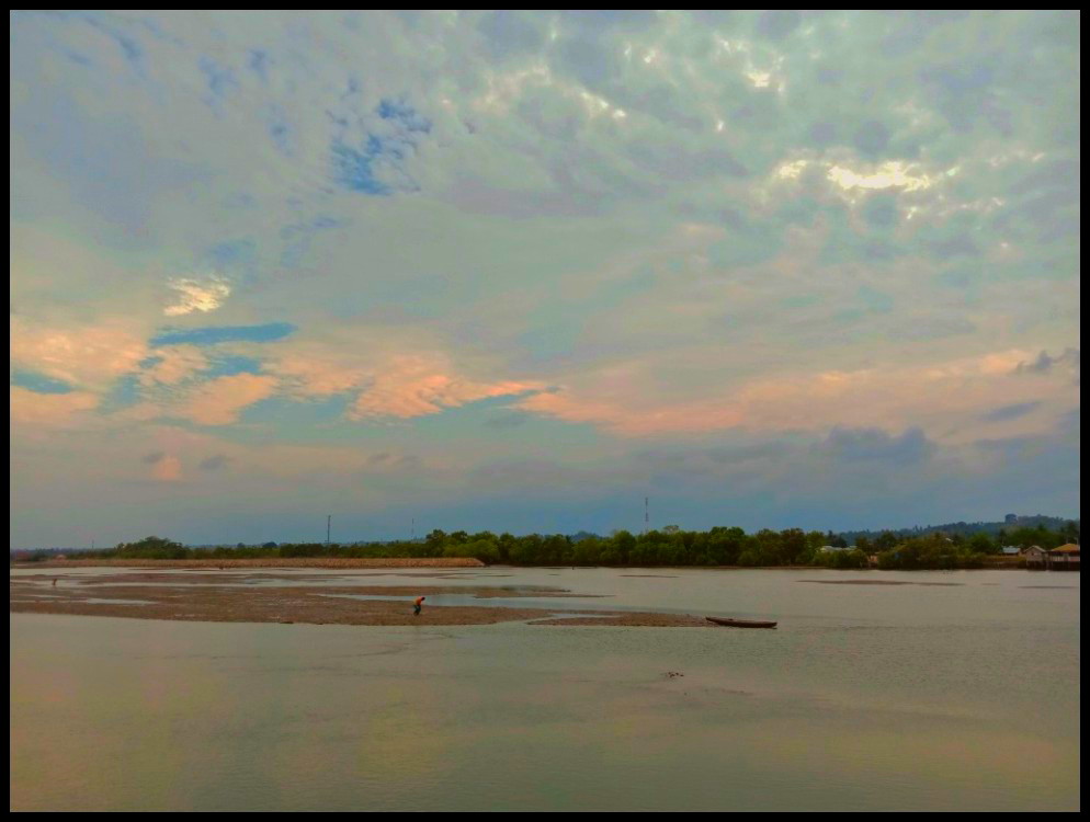
This river estuary is located in the village area of Pusong Lama Lhokseumawe Aceh, which is connected directly to the high seas, if there is a tidal or full tide it will be clearly visible at the river estuary. Cunda River is a river that has the potential to experience siltation of the estuary due to the deposition of suspended sediments, this is caused by evaporation of coastal mud which is always in a pile by tidal waves. The high rate of sedimentation can cause a paralysis of the community's economy that relies on the river mouth, if this is allowed then traditional fishermen such as wooden boat fishermen will have an impact on their activities.

In this case the authors themselves have made direct observations with the aim of this study is to determine the effect of tidal currents on the distribution pattern of suspended sediments in the waters around the Cunda River in Lhokseumawe Aceh. Then take a sampling location which is the estuary area and around the Cunda river Lhokseumawe Aceh, Indonesia with positions 6o49'0 LS to 6o50'22.8 LS and 109o34'16.6 BT to 109o35'30 BT which have also been observed by another team, but the results obtained were slightly different from today. This is influenced by nature itself due to the influence of the full moon in the past year.
While these observations will be known in the following month around the end of July 2020, because they require several steps that are in accordance with the natural time in the region itself, especially now that there is an uncertain climate change so it takes time to detect climate in the situation itself. Then review it again in the circumstances to ensure today's climate.
However, in the interim report, it can be seen that the emergence of new land which formed by itself due to natural influences as mentioned above.
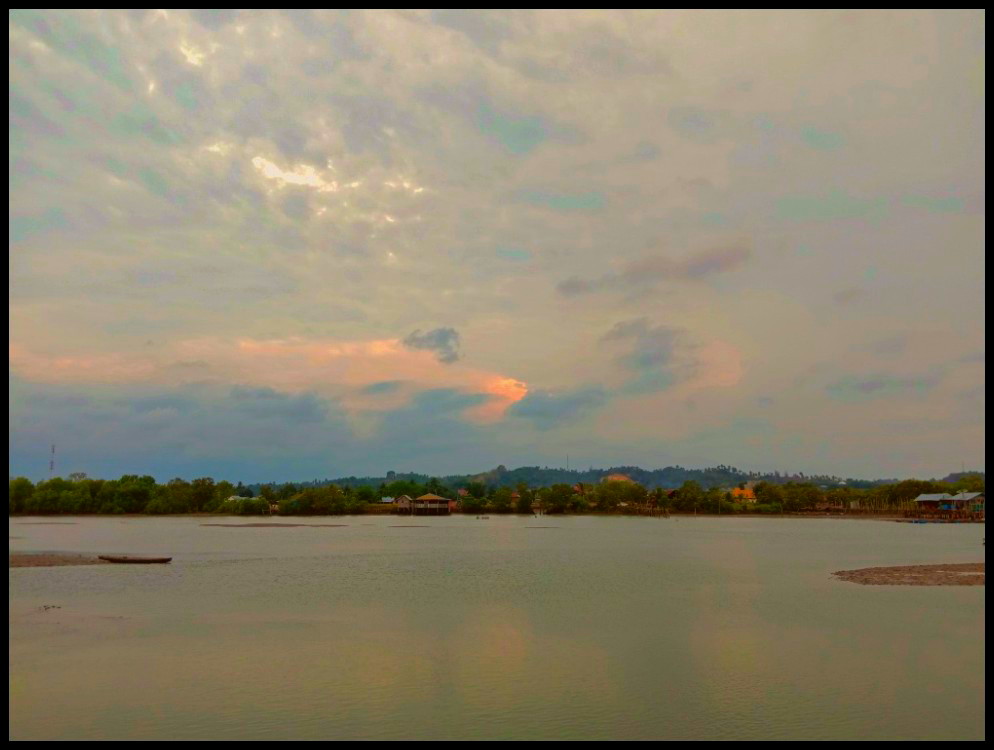
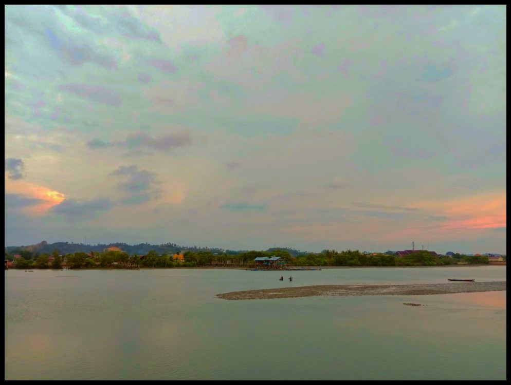
So that it becomes more shallow in the estuary, this can be seen in the picture that has been uploaded how to see a pile of soil that forms the land in the middle of the estuary.
According to the results of observations while the pile of land that became the mainland at the location of the estuary is increasingly growing. At first glance the land that appears almost forms a small island if not a tide.
If this continues, then gradually the water-filled estuary will eventually become land. So this is what makes traditional wooden boat fishermen lost the location to make a living that was originally water then becomes land.
So to anticipate the government must dig back land to become estuary as before. In 2018, the surrounding water level will be around 100 meters. However, if measured again, the height is only left around 50 meters, and even then if there is a full tide, but if there are no waves, the soil will look like shown in the photo.
So based on observations today it can be concluded temporarily that the Cunda river mouth has been shallow so that it can cause everything to be cut off and can be detrimental to the local community.
To be continue...
Classification of photos
| In the photo with | VIVO Y12 smartphone |
|---|---|
| Object distance | free |
| Camera mode | Professional type |
| Photografer | @ashaf |
| Themes | Today's incident at the mouth of the Lhokseumawe Pusong-Cunda river |
| Text reference | Own ideas |